From Sweden to Russia
In the south, Norway’s coastline begins at the border with Sweden, in the region of Østfold, in the very south-eastern corner of the country.
From there, it moves around the Oslofjord, and down towards Norway’s southernmost tip, Lindesnes.
From Lindesnes, the coastline begins its long and winding journey northwards, to the wild and spectacular landscape of Finnmark, and the very north-eastern border with Russia.
In addition to the mainland’s coastline, come the shorelines of the Arctic islands and archipelagos of Svalbard, Bjørnøya, and Jan-Mayen – and the Antarctic dependent or claimed territories of the Bouvet Island, Queen Maud Land, and the Peter I Island.
The 5 longest fjords
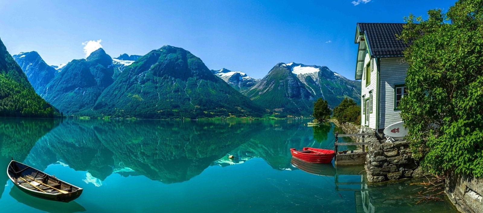
Norway’s coastline has over 1,000 fjords, of all sizes.
The fjords were shaped by the enormous weight of the slow-moving ice-age glaciers. We can think of the fjords as flooded valleys.
The 5 longest fjords, and their lengths and regional locations, are:
- Sognefjorden | 226 km | Sogn og Fjordane
- Hardangerfjorden | 190 km | Hordaland
- Trondheimsfjorden | 179 km | Trøndelag
- Lyngenfjorden – Ivgovuotna (Sami) | 134 km | Troms
- Porsangerfjorden – Porsángguvouotna (Sami) | 131 km | Finnmark
Of all the Norwegian fjords, Sognefjorden has the greatest depth, with its deepest point at 1,303 metres.
The 5 largest islands
The 5 largest Norwegian mainland islands are all found in the northern part of the country. With their size and locations, they are:
- Hinnøya | 2,205 km2 | Nordland and Troms
- Senja | 1,589 km2 | Troms
- Langøya | 867 km2 | Nordland
- Sørøya | 812 km2 | Finnmark
- Kvaløya | 737 km2 | Troms
Travel by sea
One of the best ways to experience the most spectacular part of the Norwegian coastline, is to follow the example of the old Norwegians, and travel by sea.
The iconic Hurtigruten cruise liners take you from the south-western city of Bergen, and all the way up to the northern town of Kirkenes, close to the Russian border.
Source: The Norwegian Mapping Authority kartverket.no | EGP.00025


